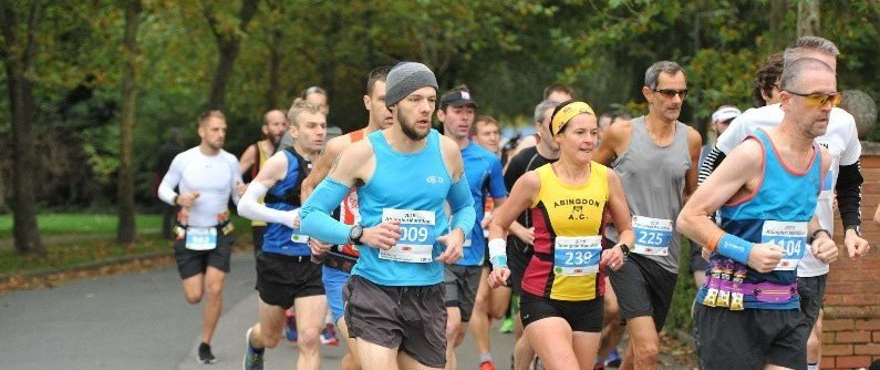
The route
Our 26.2 miles course starts and finishes on the Tilsley Park track.
The roads towards Radley for the first two miles (Dunmore Road and Twelve Acre Drive) and the last mile back to Tilsley are closed. The rest of the course is on roads and footpaths, which are fully marshalled to ensure the safety of runners and the general public.
The route passes through the town centre, heading out on a two-lap course, passing through the picturesque villages of Drayton, Milton, and Sutton Courtenay. Runners then head back through Abingdon to Tilsley Park, finishing on the track in front of the grandstand.
We are sorry that the course is unsuitable for unaccompanied wheelchair competitors.
View our residents page for information about how the course may impact travel for residents on the day.
Route map and elevation profile
Buy a souvenir map to celebrate your race
Artist Owen Delaney has immortalised the Abingdon Marathon route in a hand-drawn map. The artwork is personalised with your result and would look great hung with your finisher’s medal. Visit Owen’s Etsy store for full details.

Information for supporters
The route provides lots of opportunities for supporters to see the athletes and offer their encouragement. View the spectator’s route map (pdf).
Best places to watch the runners on the course
Near the five-mile mark in the market square opposite the museum.
Near the 10-mile mark, outside Café Metro in Milton Park by the roundabout. The course involves a nine-mile loop, so watching from this position will give you two opportunities to see your family member or friend run past. You will still have plenty of time to drive back to Tilsley Park and watch them finish in front of the grandstand.
Projected race timings
View where the leaders and the tail bikes are expected to be and at what time.
More information
Visit the Abingdon–on–Thames website for information about places of interest in the town centre and around the race route.